NC Nairobi Central The CBD, block by block
RegisterFind a stay
Areas Things to do Guides Blog Hotels Carbon credits Contact Find a stay in the centreCreate an IMPT account

Straight to a quarter

Moi & Tom Mboya 4 min on foot Kenyatta Ave 4 min on foot City Square 7 min on foot Biashara 8 min on foot River Road 9 min on foot Ngara 11 min on foot Railway 12 min on foot Uhuru Park 14 min on foot Muthurwa 16 min on foot Upper Hill 24 min on foot

All ten areas

The CBD is not one place. It is ten, and they are not interchangeable.

Every area below has its own page. The distance on each card is the direct line from Kenyatta Avenue at Moi Avenue, computed from coordinates rather than typed in, and the after-dark line is the one to read before you book anything.
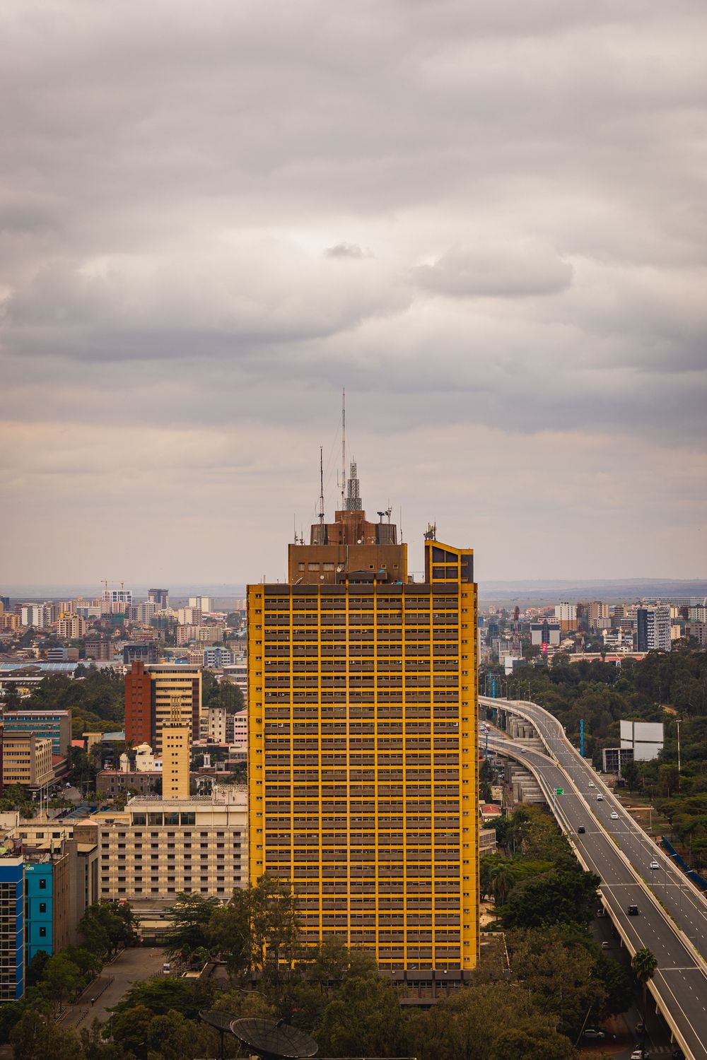
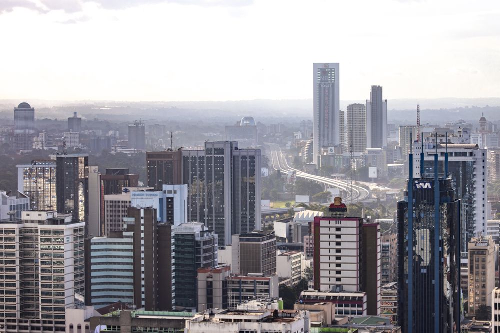
Aerial view of the architecture of central Nairobi

The whole district in one frame: the grid at the centre, the parks on its western edge, the railway land to the south, and the newer towers on the ridge beyond.

Sort

10 of 10 areas · all ten, sorted by distance
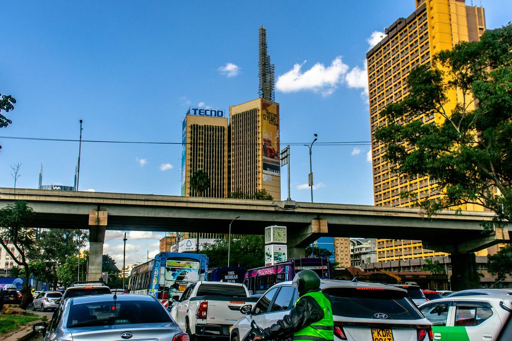
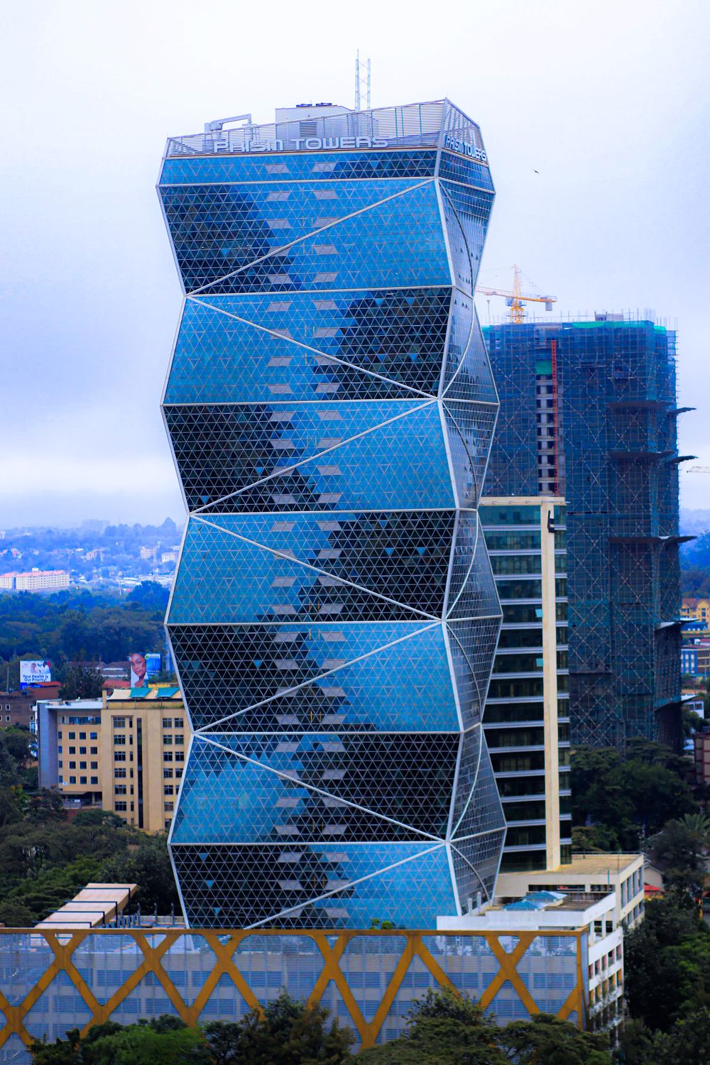
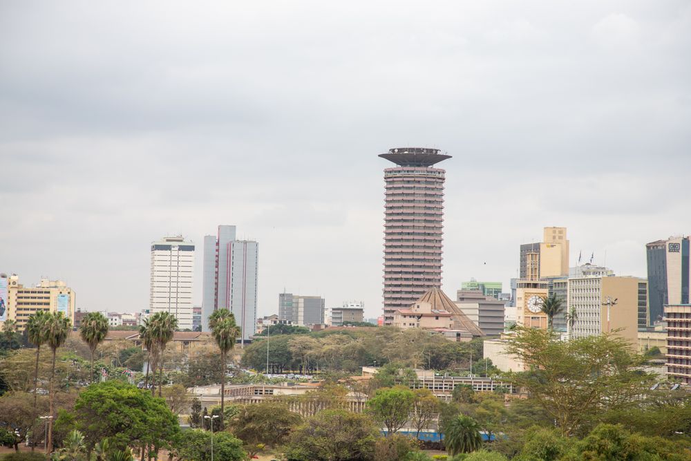
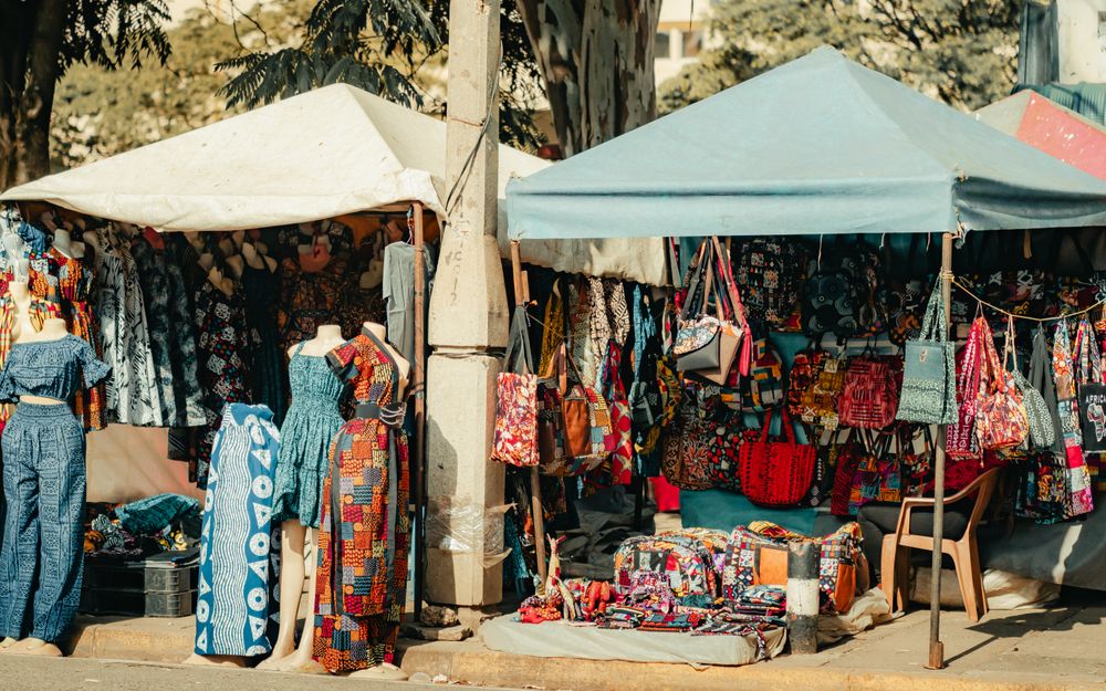
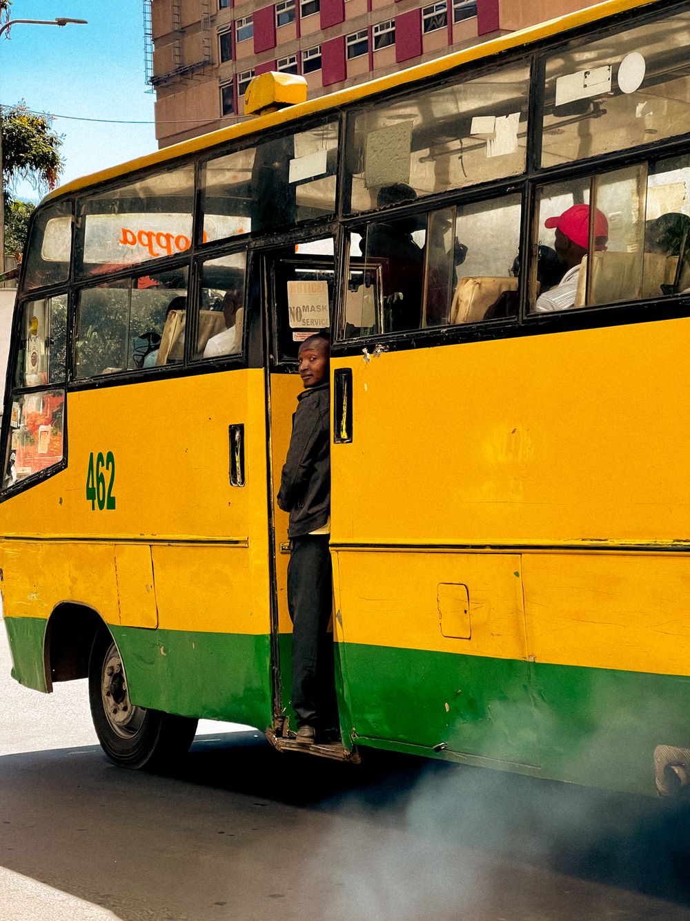
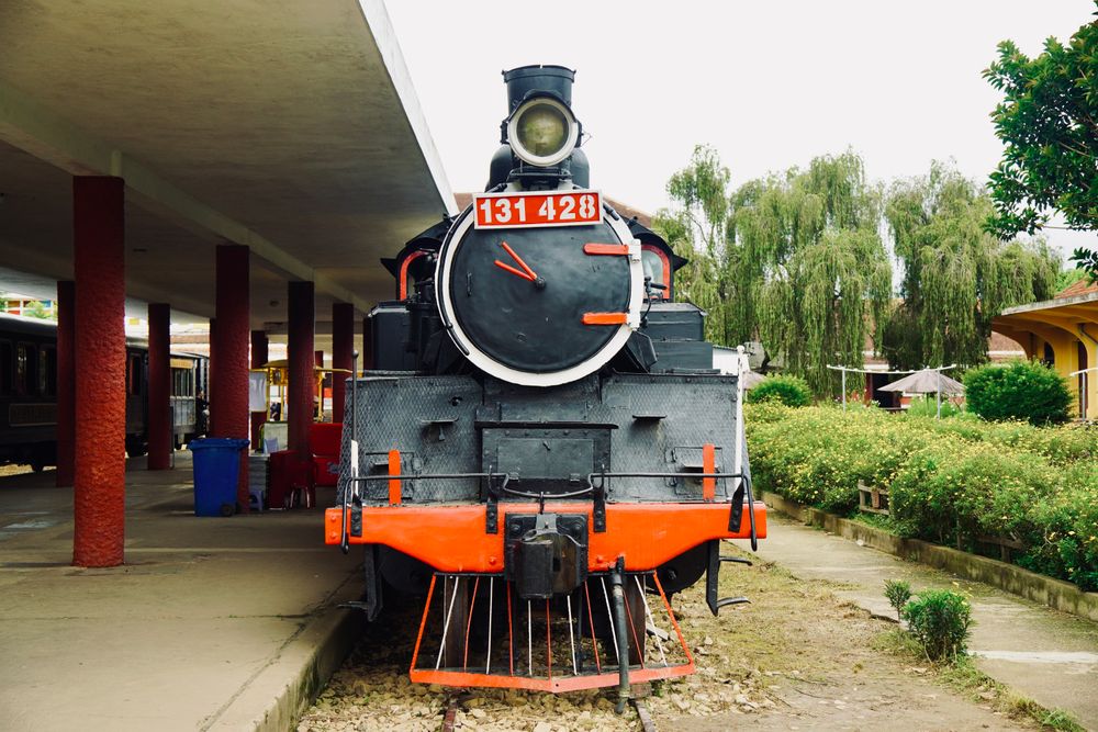
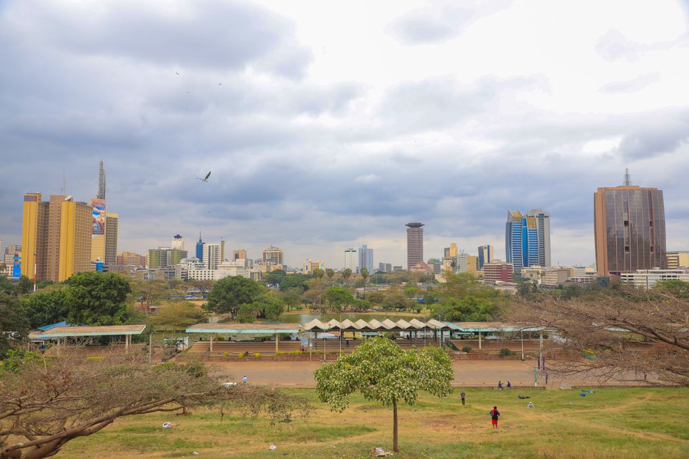
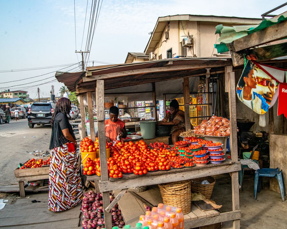
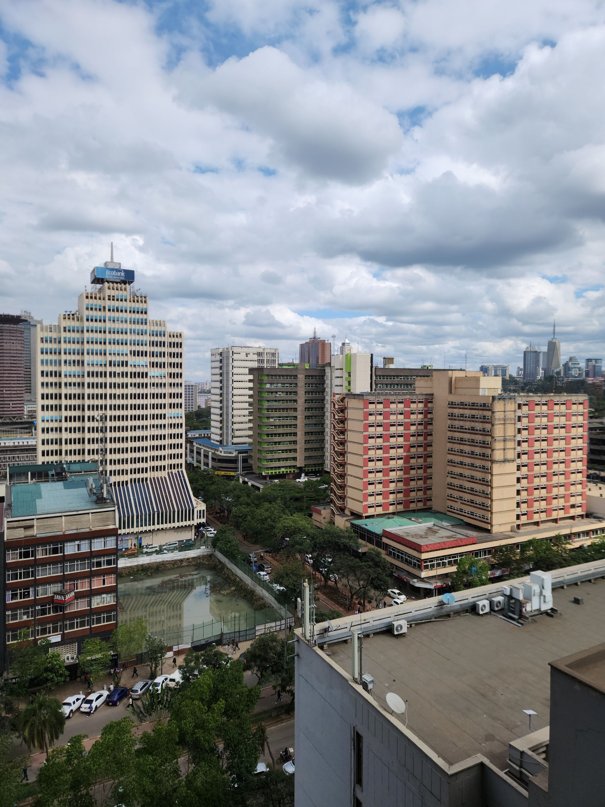
Busy central Nairobi street with shopfronts and pedestrians 4 min on foot The busy grid Moi Avenue and Tom Mboya Street 0.27 km out Heaviest footfall National Archives Shops at street level Two parallel streets carrying most of the pedestrian traffic in the country. The National Archives sits at the Moi Avenue end in the old Bank of India building, and the whole stretch is shops at street level with offices stacked above. Best for Street life, errands, and the Archives gallery in the middle of it. Prism Towers and the bank blocks of the Nairobi central business district 4 min on foot The spine Kenyatta Avenue 0.31 km out Banks and towers Widest pavements Quiet at weekends The avenue the colonial town laid out wide enough to turn an ox wagon in, now the financial address of Kenya. It is the CBD at its most orderly: bank halls, airline offices, the old Stanley corner, and the widest pavements in the centre. Best for A first walk into the city, and the easiest orientation line to hold on to. Nairobi skyline with the cylindrical KICC tower at its centre 7 min on foot The civic centre City Square and KICC 0.53 km out KICC viewing deck Parliament Supreme Court The state’s block: Parliament, the Supreme Court, City Hall, the Kenyatta mausoleum and the 1973 conference centre whose amphitheatre roof and rooftop deck give the best view of the city there is. Best for The rooftop view, and the shortest walk between the civic landmarks. Fabric and clothing stalls in a central Nairobi market 8 min on foot The market quarter Biashara Street and City Market 0.63 km out Fabric shops City Market hall Jamia Mosque The oldest retail streets in the city: Biashara for cloth and haberdashery, Muindi Mbingu for flowers, and the 1930s City Market hall behind them for produce, curios and a fish counter. Jamia Mosque’s three silver domes close the block. Best for Kikoi and kitenge cloth, curios without the tour-bus markup, and an hour of architecture. Painted matatu bus pulling away on a Nairobi street 9 min on foot The eastern grid River Road 0.68 km out Matatu stages Cheap kitchens Hard-working The CBD’s eastern half, and the half the brochures skip. It is where the matatus stage, where the country arrives in the city, and where the cheapest good food in the centre is cooked. It is also the part of the grid that asks the most of a visitor. Best for Nothing tidy, and a clear sense of how the city actually runs. Nairobi buildings beside the highway under heavy cloud 11 min on foot The northern edge Ngara and the Globe 0.81 km out Globe roundabout Fruit market Northern gateway Where the grid loosens and the roads north begin. The Globe Cinema roundabout is the CBD’s northern hinge, the fruit market beside it opens at four in the morning, and Museum Hill is the next rise beyond. Best for Early markets, and the walk up to the National Museum. Vintage steam locomotive standing in an outdoor railway yard 12 min on foot The southern edge The Railway Quarter 0.89 km out Nairobi Station Railway Museum Where the city began Nairobi exists because the Uganda Railway stopped here in 1899 to gather strength for the Rift. The 1929 station, the old yards and the museum of locomotives sit on the CBD’s southern boundary, ten minutes below Kenyatta Avenue. Best for The museum, and understanding the city’s whole layout in one afternoon. Nairobi skyline seen across the lawns and lake of Uhuru Park 14 min on foot The green edge Uhuru Park and Central Park 1.06 km out Skyline view Boating lake Freedom Corner Two connected parks along Uhuru Highway that give the CBD its lungs and its best photograph. Freedom Corner, at the Uhuru Park end, is where the pro-democracy protests of the 1990s were held and where the city still gathers. Best for Late-afternoon light on the skyline, and the only proper walk in the centre. Street market stalls piled with fresh tomatoes and vegetables 16 min on foot The eastern edge Muthurwa and the east markets 1.23 km out Wholesale produce Bus termini Before dawn The wholesale edge, where Muthurwa’s market and the country bus termini push up against the railway land. It feeds the rest of the grid and is the last piece of the CBD most visitors would recognise as part of it. Best for An early-morning market walk with someone who knows it. Nairobi tower blocks seen from above in daylight 24 min on foot The western ridge Upper Hill and Community 1.90 km out Tallest towers Hospitals and NGOs Expressway ramp Not the CBD proper but the ridge immediately above it, and the place most of the CBD’s office space has been moving to since the 2000s: the tallest towers in the country, the big hospitals, the aid agencies, and an expressway ramp to the airport. Best for Meetings, a quiet night close in, and a fast run to the airport.

All ten, by distance

Straight-line kilometres and minutes on foot at 4.8 km/h, computed from each area's coordinates. Treat both as a floor: crossings, pavements and the hour of day only add to them.

AreaDirect lineOn footAfter dark
Moi Avenue and Tom Mboya Street The busy grid 0.27 km 4 min Thins out fast after the commute and is better avoided late. Take a car after dark. Kenyatta Avenue The spine 0.31 km 4 min Offices empty by seven and the avenue goes quiet. Lit, but there is little reason to be on it late. City Square and KICC The civic centre 0.53 km 7 min Institutional and empty after office hours. Go in daylight, when the deck is open. Biashara Street and City Market The market quarter 0.63 km 8 min A daytime quarter. The halls shut in the late afternoon and the streets empty with them. River Road The eastern grid 0.68 km 9 min The one quarter this site says plainly: not after dark, and not with a phone in your hand. Ngara and the Globe The northern edge 0.81 km 11 min A transport edge rather than an evening one. Cross it by car. The Railway Quarter The southern edge 0.89 km 12 min Industrial and unlit in stretches. Daylight only, and a car back. Uhuru Park and Central Park The green edge 1.06 km 14 min Closes at dusk. Nobody should be in the parks after dark. Muthurwa and the east markets The eastern edge 1.23 km 16 min Closed, dark and not a place to be. Mornings only. Upper Hill and Community The western ridge 1.90 km 24 min Safe and dull. Hotel bars, and a ride anywhere else.

Shortlists, if you would rather be told

First trip, no car

Walkable to the landmarks, lit in the evening, and easy to find your way back to.

Kenyatta Ave City Square Uhuru Park

Here to work

Meeting rooms, new buildings and a fast run to the airport matter more than atmosphere.

Upper Hill City Square Kenyatta Ave

Here for the city itself

Markets, street life and the parts of the grid that were never rebuilt for offices.

Biashara Moi & Tom Mboya River Road

Quiet, green and early nights

Grounds, lawns and a door you are happy to be outside after dark.

Uhuru Park Upper Hill Kenyatta Ave

Find a stay in the centre

Dates default to two weeks out. Search opens the booking partner with your quarter pre-selected.

Find a stay in the centre

Guests
Adults 16 and over 2
Children 0 to 15 0
Rooms one party per room 1
Search stays